Exceptional
Geoheritage
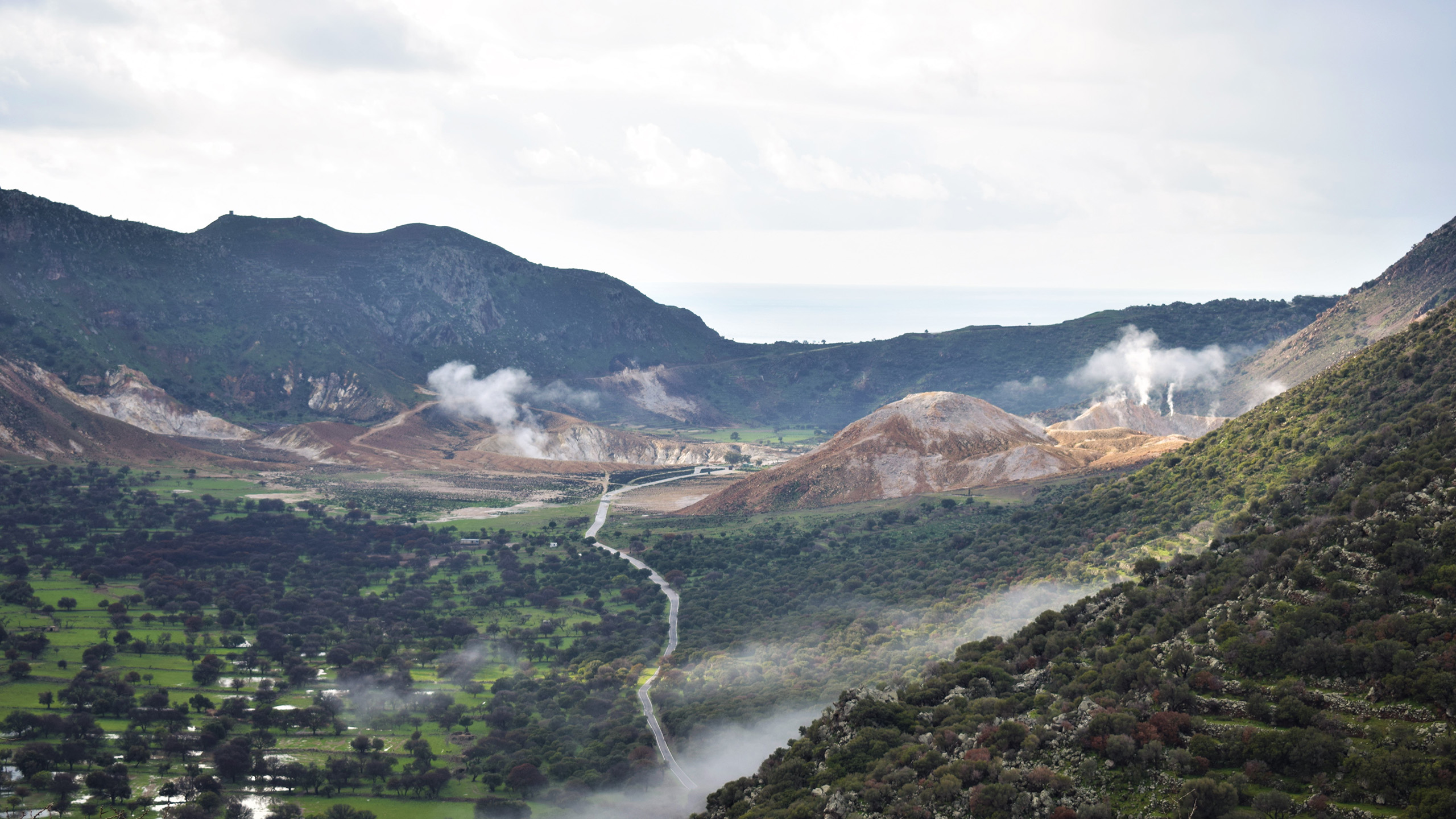
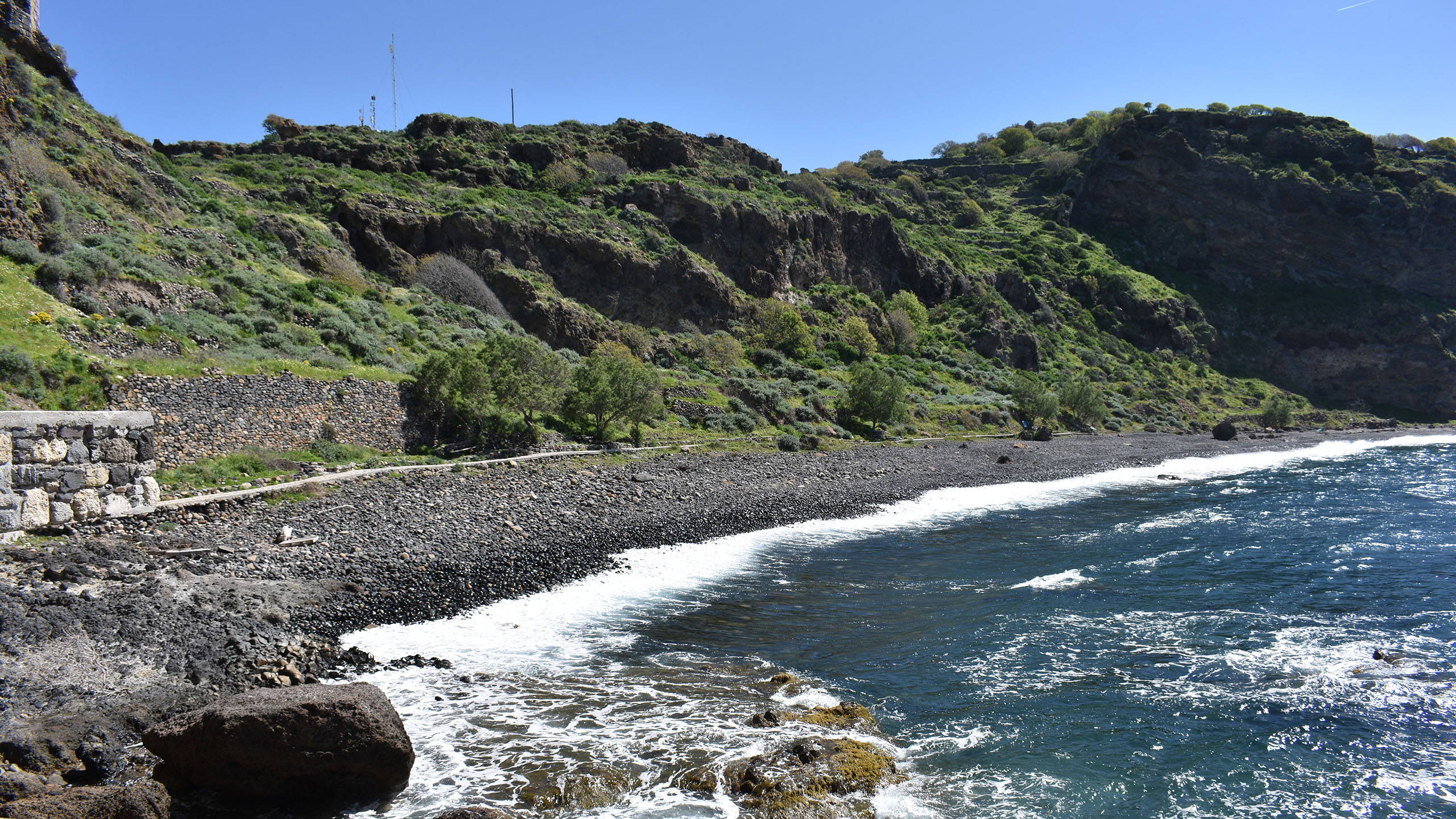
Located in the southeastern part of the active South Aegean Volcanic Arc, Nisyros Geopark displays exceptional geoheritage sites and diverse ecological and cultural landscapes. Outstanding volcanic landscapes, enjoyable trails, traditional villages and cultural monuments provide an impressive experience to the visitors of Nisyros Geopark. Preservation of both geological and cultural heritage, popularisation of earth sciences and encouragement of local sustainable development, are some of the main goals of Nisyros Geopark.
Plan your experienceUnique
Georoutes
Explore the hidden treasures of Nisyros Geopark through a memorable georoute network
- G1 | Circumnavigation: 27.50 Km
- G2 | Evaggelistria – Emborios: 6.43 Km
- G3 | Caldera – Lakki: 6.05 Km
- G4 | Diavatis – Nyphios: 4.60 Km
- G5 | Argos – St. Irini: 9.74 Km
- G6 | Hohlaki – Kanoni: 3.21 Km
- G7 | Nikia – Fylakio: 9.30 Km
- G8 | Nikia – Avlaki: 8.90 Km
- G9 | Mandraki – Kateros: 5.34 Km
- G10 | Pali – Lies: 6.27 Km
News & Information
CIVIS Blended Intensive Programme (BIP) in Nisyros: “Active Volcanoes and Climate Hotspots – An Interdisciplinary Exploration on Nisyros”
The five-day summer school “Active Volcanoes and Climate Hotspots – An Interdisciplinary Exploration on Nisyros” (20–24 October 2025) was successfully completed on the island of Nisyros, within the framework of […]
Interview with Dr. Evi Nomikou – Ta Nea
Professor Evi Nomikou, in an interview with Ta Nea, describes Santorini as a particularly important volcano with magnificent geological stratification, where every rock layer tells centuries-old stories. At the same […]
Interview with Dr. Evi Nomikou on ERT about the Nisyros Geopark
Following the official recognition of Nisyros as a UNESCO Global Geopark, the project’s scientific coordinator, Mrs. Evi Nomikou, gave an interview to ERT. During the discussion, she presented the prospects […]
Inclusion of the Nisyros Geopark in the UNESCO Global Geoparks Network
Nisyros celebrates a historic moment! The Nisyros Geopark has been officially included in the UNESCO Global Geoparks Network. This international recognition highlights the unique geological and cultural value of the […]
Nisyros Geopark Mobile App
Nisyros Geopark features a scenic volcanic environment, housing a range of extraordinary geological formations molded by intense explosive activity. This includes expansive hydrothermal craters and massive lava domes that contribute to the Geopark's picturesque landscape.
The Nisyros Geopark Mobile App serves as a digital guide, providing users with the opportunity to explore all 24 distinctive geosites through current and engaging material. The application highlights sites of geological, cultural, and ecological significance across the island of Nisyros and the surrounding islets encompassed within the Geopark’s territory. Users can navigate the stunning volcanic landscape using the app's comprehensive content, which features high-quality photos, panoramas, videos, and the digital map of the Geopark. Consequently, it functons as a valuable virtual pocket guide accompanied by the Nisyros Volcano app.
Uncover the extraordinary geoheritage of this active volcano.
This user-friendly mobile applicaton, distributed for free , enhances the services of Nisyros' aspiring UNESCO Global Geopark.


Nisyros Volcano App
The active volcanic field of Nisyros island features a scenic volcanic environment that hosts diverse, outstanding geological formations which have been created after intense explosive activity, including large hydrothermal craters and lava domes.
The Nisyros Volcano App is a digital guide that offers users the opportunity to explore the unique volcanic field of Lakki through up-to-date material. This modernly designed applicaon focuses on the Caldera-Lakki route, showcasing the three Points of Interest along the volcanic paths of the hydrothermal field. Users can navigate the exquisite volcanic landscape virtually, through the app’s rich material that also includes high quality photos, 360° panoramas, videos and digital maps. Thus, it can be used as a useful, virtual pocket guide that will immerse anyone into the secrets of the youngest stratovolcano in the Aegean Sea.
Discover the exceptional geoheritage of this natural volcanic laboratory
This user-friendly mobile application improves the services of the Nisyros aspiring UNESCO Global Geopark, the core of which is the active hydrothermal field of Lakki.


